Mapping of Meanjin Soils
This is an ongoing study I am completing in order to understand the
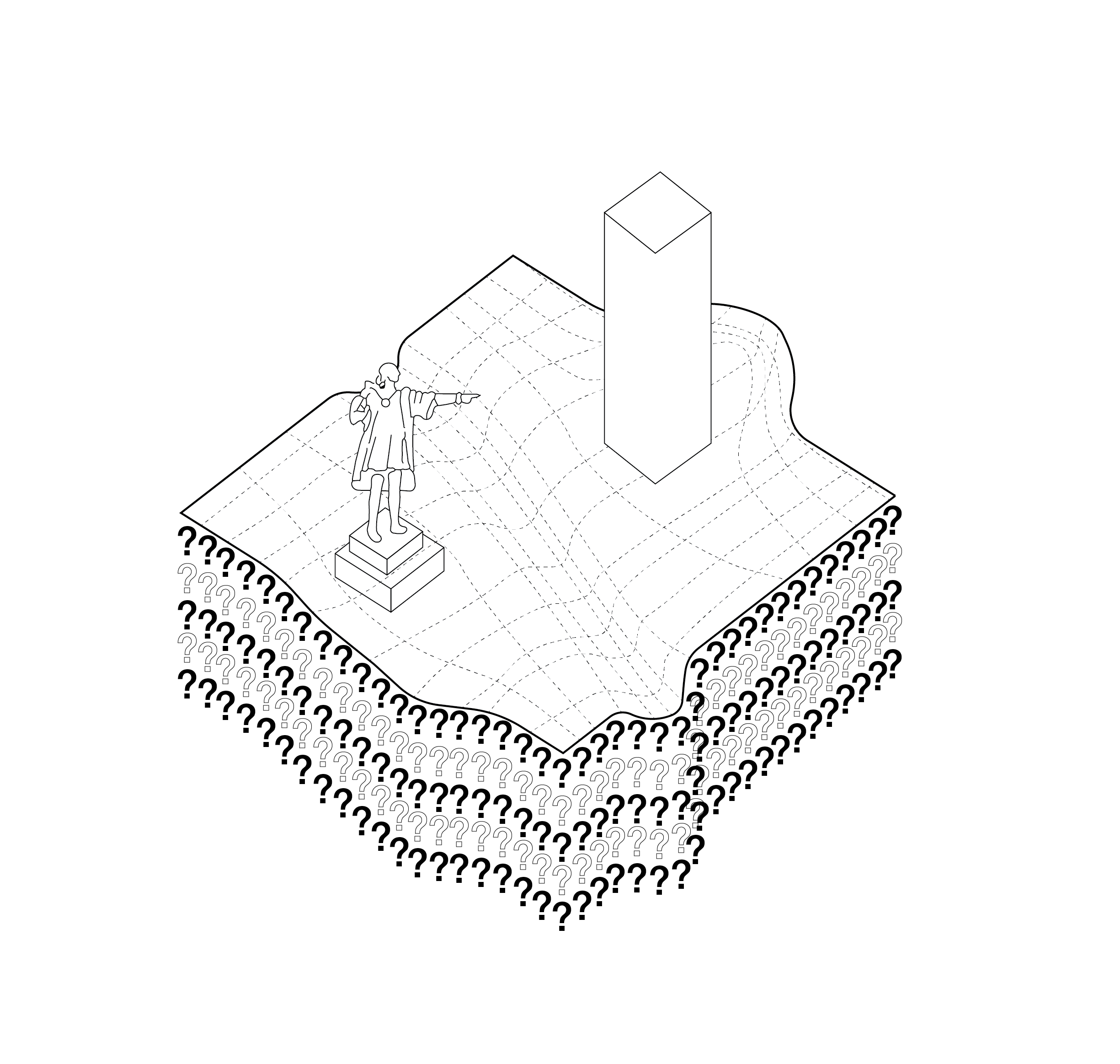
soil and landscape under Meanjin/Brisbane’s colonial urban developments. I collect soil/earth from small construction sites across the city where the earth would typically be sent to landfill or to factories to be sold as fill. This process strips the earth of its characteristics and place. By collecting, recording, testing and potentially using the earth for constructed projects, I aim to increase my idea of placemaking in Brisbane to include our soil and geology. The images I have shown display some of the technical mapping I have completed as well as highlight the difference between the terrain and geological map of Brisbane and the urban map. The urban condition of Brisbane places a grid on top of the undulating landscape map, subsequently warping our sense of place towards the urban grid, not the natural landscape.


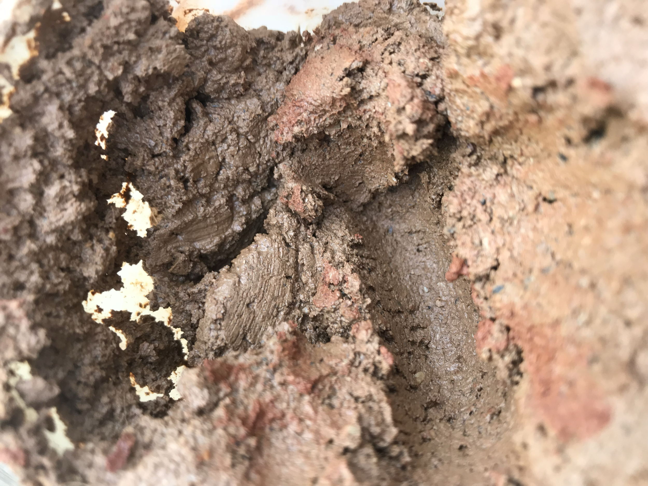
1. Colonial Location: Stafford Traditional Owner or Location: Turban Description: Fine clay and gravel. Some sand. Pale brown uniform colour.

2. Colonial Location: Wynnum Traditional Owner or Location: Quandamooka Description: Mixed clay tones, very sandy. Dense clay. Yellow to deep red colours.

3. Colonial Location: Kallangur Traditional Owner or Location: Kallangoor Description: Crumbly clay, some silt and sand. Very vibrant red-orange colouring.